Mount Rosa and ol' Zeb
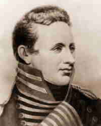
The year is 1806. An ambitious 27-year-old Zebulon Pike (Zeb) under the command of Army General James Wilkinson set out on an expedition from St. Louis to find the headwaters of the Arkansas River. The General also secretly commissioned the young soldier to spy on the Spanish who ruled Old Mexico at the time including much of the land which is modern day Colorado and New Mexico.
In late November, Zeb and his dwindling number of men were in what is now Pueblo, Colorado. He selected three of his men to scale Mount Rosa with him as part of their attempt to reach the top of a mountain that eventually took on his namesake, Pikes Peak. They made the summit of Rosa but were undersupplied and inadequately clothed. A winter storm was brewing. Without a shelter in their supplies the best available hold-up was a natural cave in the rocks on the south east ridge of the mountain. They stayed there for one unpleasant night. They made it out alive.
Several months later they were captured by the Spaniards and confined for a year before they were released. Immediately upon his return he was accused of being a co-conspirator in Wilkerson’s snaky dealings. Zeb was later cleared of all wrong-doing in the matter and eventually made the rank of General before being killed in the war of 1812.
It would have made a great story if I took the same route up Mount Rosa, became caught in a winter storm, and spent the night in the same cave. But – that didn’t happen. I did, however, hike a different route up to the summit of Mount Rosa today… so, that’s about all I have in common with ol' Zeb.
Mount Rosa is a favorite local hike. The route I took was via St Mary’s Falls. It’s not for the beginner, it’s a 4000-foot elevation gain and 14 miles (out and back) trail. I wrote about it a couple years back in My Sweet Rosa, promising I would update the post later that year. I didn’t update the post that year and not even in the several times I’ve been back on that trail since then. Shame on me.
So for those of you who have been waiting… here it is… summit and all:
A 7am start time was reasonable for me today. There were to be no afternoon thunderstorms, a bright sunny forecast, and nothing on my schedule for the afternoon. I was free and needed some trail time.
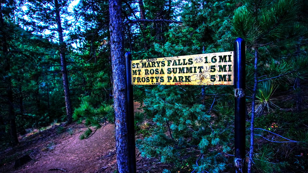
Directions: Follow North Cheyenne Canyon Road from Cheyenne Blvd off of Highway 87/115 (Nevada Blvd) just west of I25 in Colorado Springs to a dirt parking lot several turns above Helen Hunt Falls. It’s here you’ll see a gate blocking Old Gold Camp Road. This is the starting point.
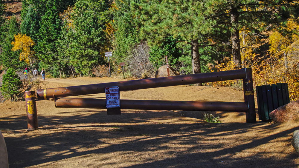
You’ll follow this old road as it circles to the left until you reach a Gated Tunnel.
Go to the left of this tunnel and up. When you reach the top, turn right and follow the trail for a short distance until reaching the first of several signs. Go right or left; it doesn’t matter they both lead to the same trail up Buffalo Canyon; Buffalo Creek will be on your left.
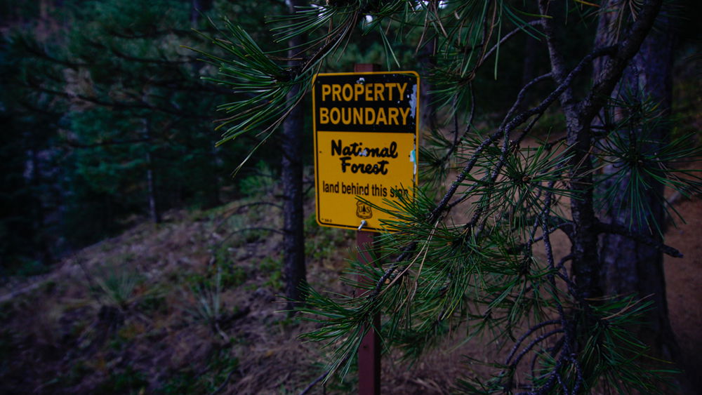
A few steps up the trail (I took the trail on the right) is the boundary to Pike National Forest. Note that there are federal regulations that are enforceable in a National Forest. They are designed to protect and preserve the area. Here are the rules for Pike. I like the one about not blasting your music so I can hear it; it’s all about the sounds of nature out here, folks. Oh, and don’t shoot your guns in a way that the bullet might hit someone… especially one of the good guys… I like that rule too.
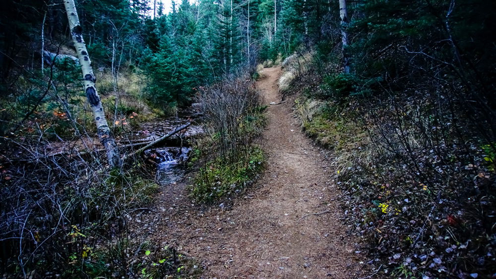
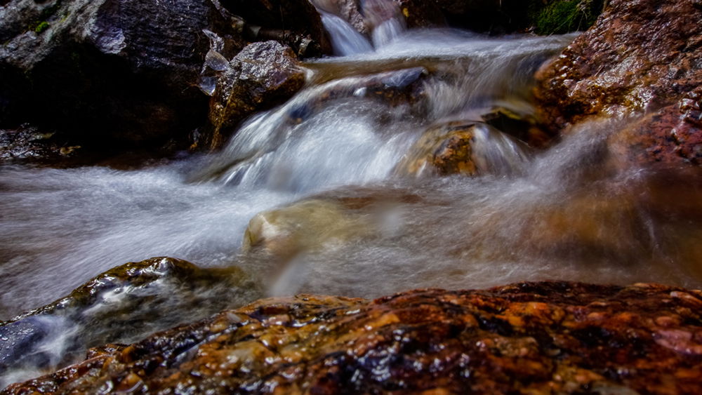
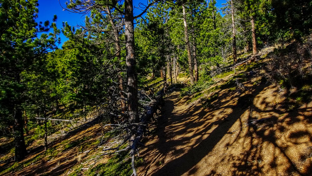
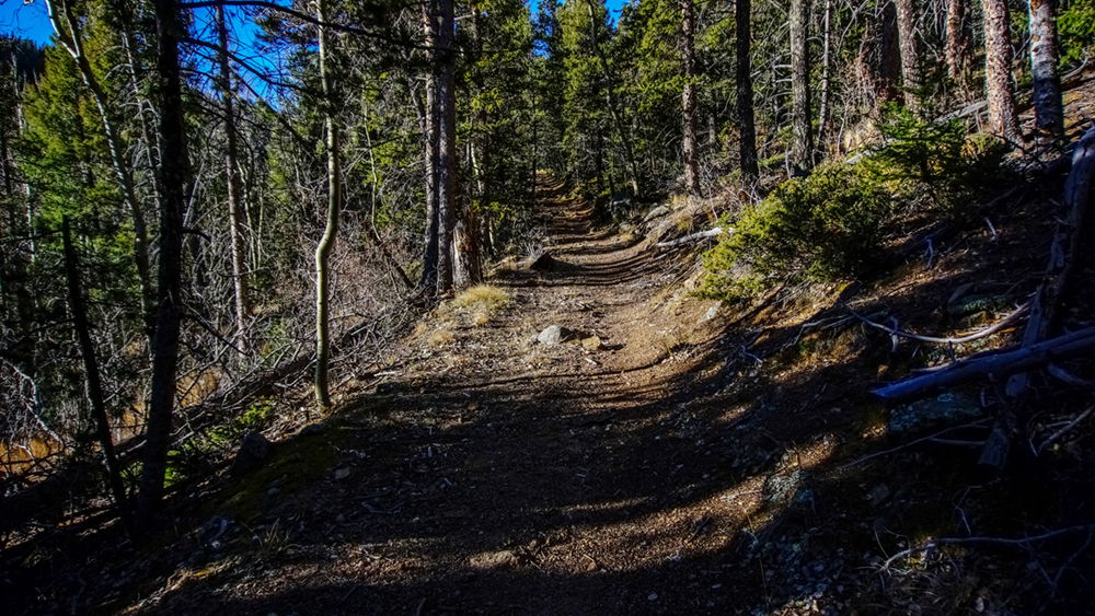
Walking along Buffalo Creek with the sound of its many small cascading falls is a great way to say good morning. There is some minor incline alone this portion of the trail, but nothing compared to a few places coming up.
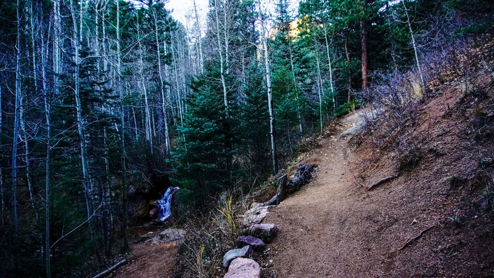
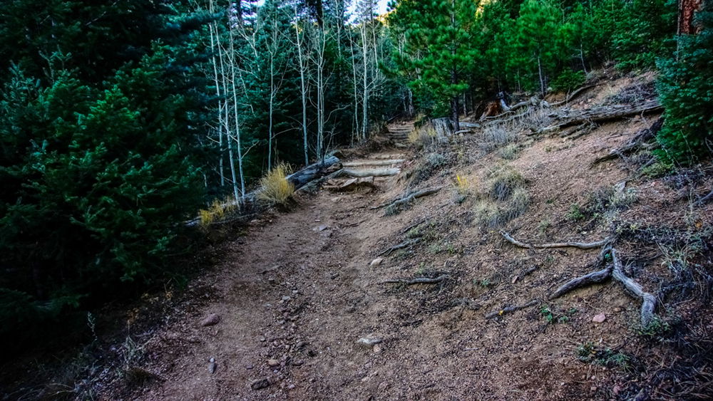
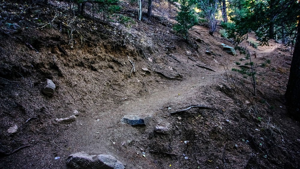
The trail becomes more separated from the creek and the ascent becomes more pronounced. Log steps help keep the trail from erosion.
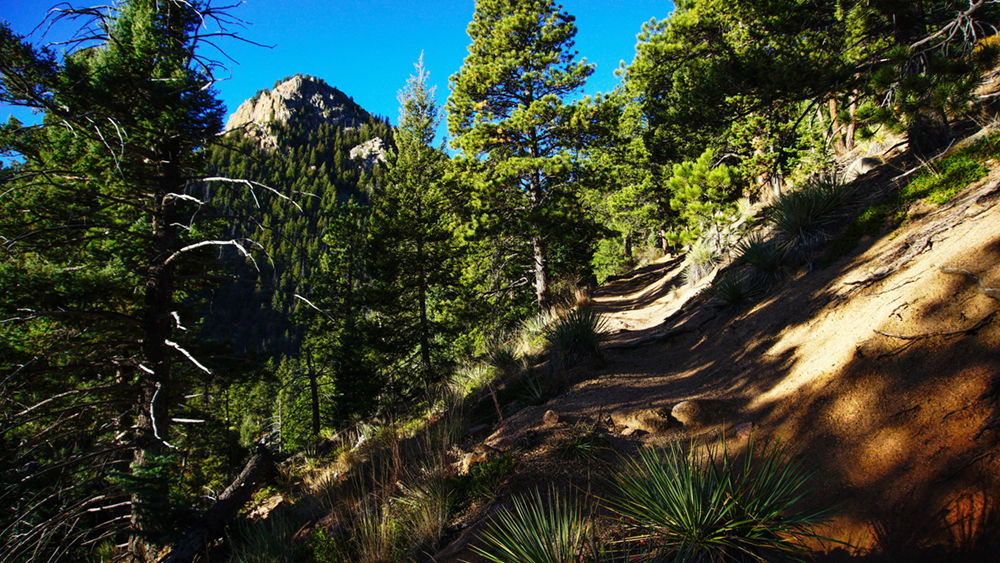
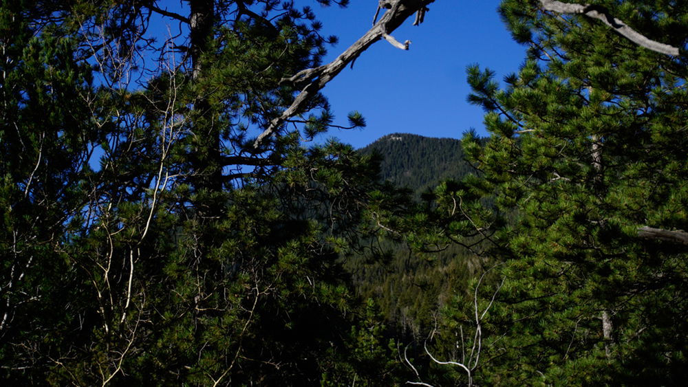
And then the first glimpse of Stove Mountain (Cookstove Mountain) comes into view. This is the most prominent landmark along the first half of the trail.
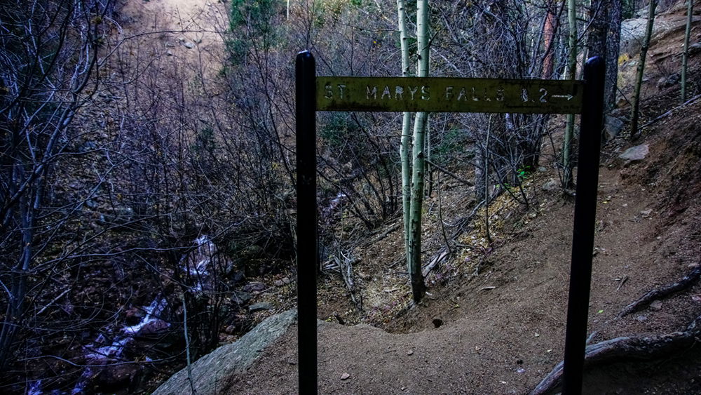
At the first switchback is now a sign letting everyone know that St Mary’s Falls is still a bit further up the trail. It seems some people (me) thought the series of cascading falls at this site was St Mary’s Falls. This sign wasn’t here the first time I was on this trail a few years back. They put the sign in a place that blocks the old trail to the upper cascade in this area. It’s a nice place to get all artsy with the photography if you are so inclined.
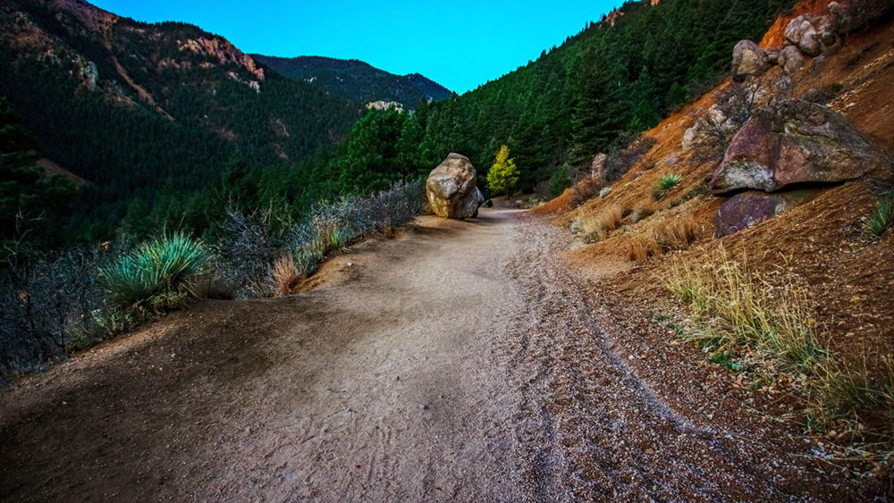
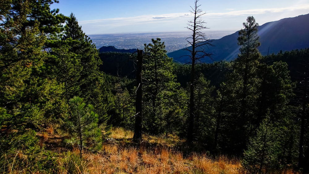
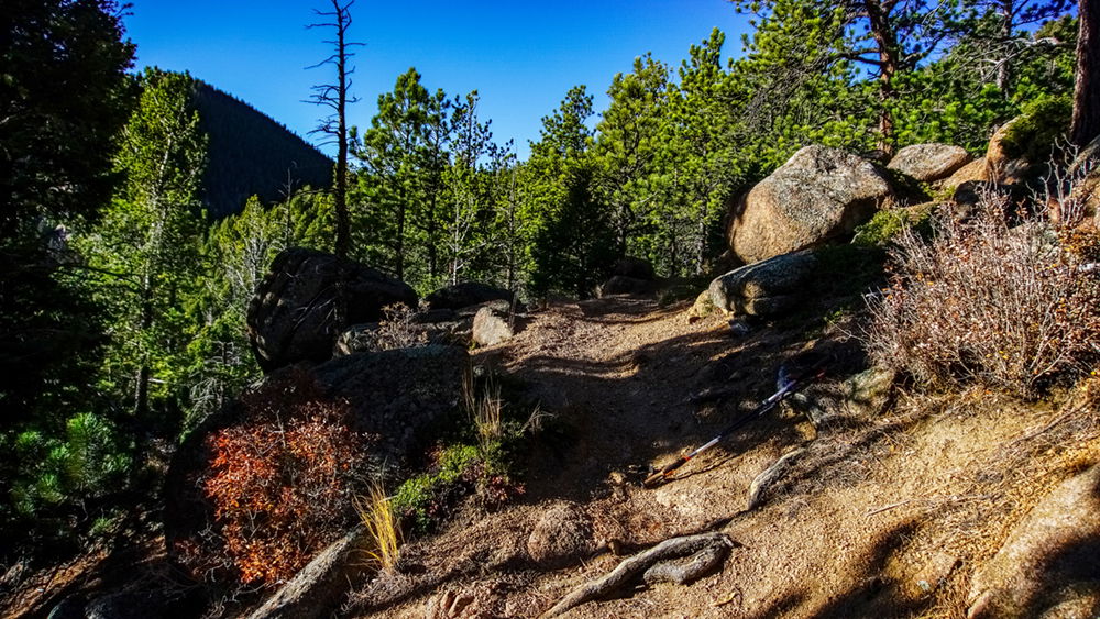
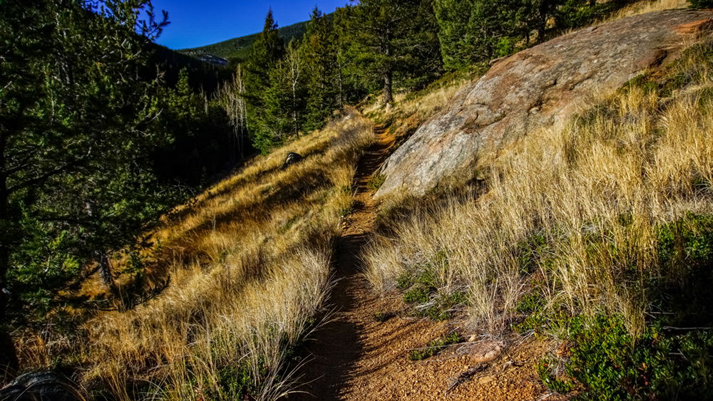
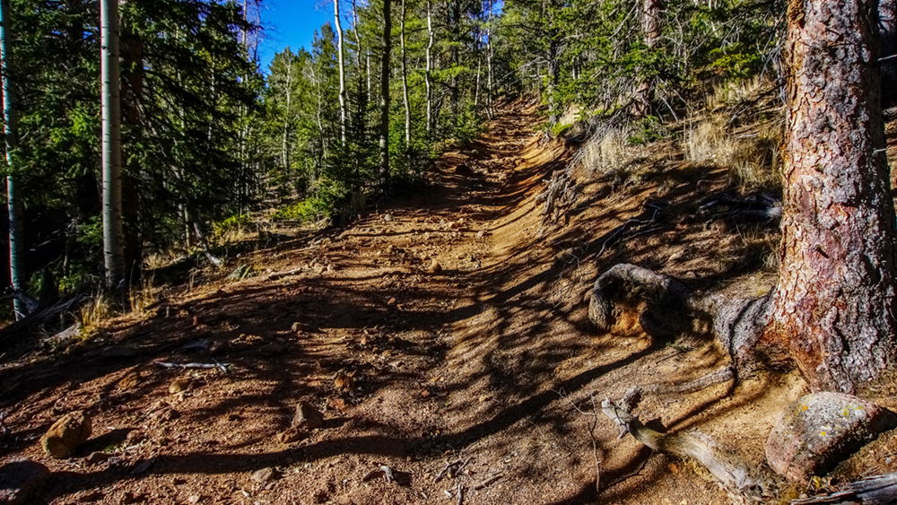
From here the trail continues to climb. But with the elevation comes more expansive views from the foothills into the famed fruited plains… or in this case, Colorado Springs and eastward.
The trail has a few switchbacks but eventually aims in a familiar direction toward Stove Mountain. The sharp sword leaves of the yucca plants next to the trail may challenge those who ware short pants.
Side note: the UV at these elevations warrants covering exposed skin – I do not recommend short sleeve shirts or short pants. There are varying opinions, but I like mine.
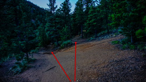
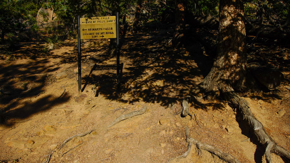
The trail splits before arriving at the falls. The sign is easily missed in the tree branches. Take the trail to the right and up.
This picture is looking back down the hill in the direction we came.
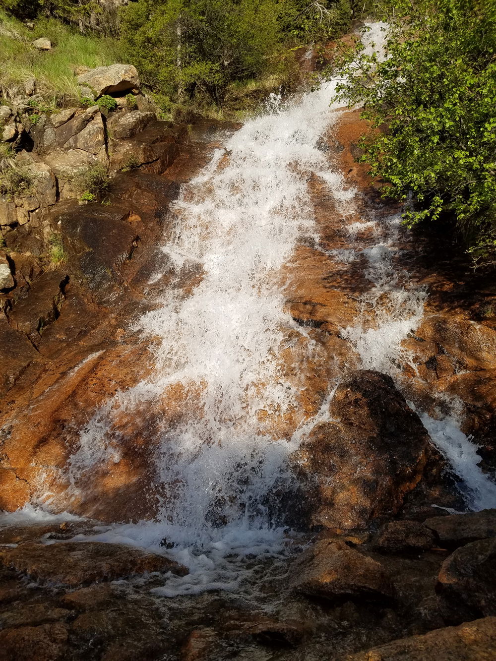
I didn’t go to St Mary’s Falls on this hike… but, here’s a picture from previous hikes for those who are interested:
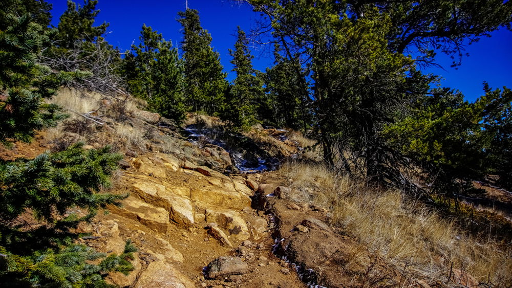
The most demanding part of the hike is what follows the split from the trail to St Mary’s Falls. It’s 800 feet of elevation gain, rising onto the ridge above the falls.
This is the half way point of the ascent. This is where I typically stop for a few minutes to rehydrate, have a quick snack, and enjoy the views.
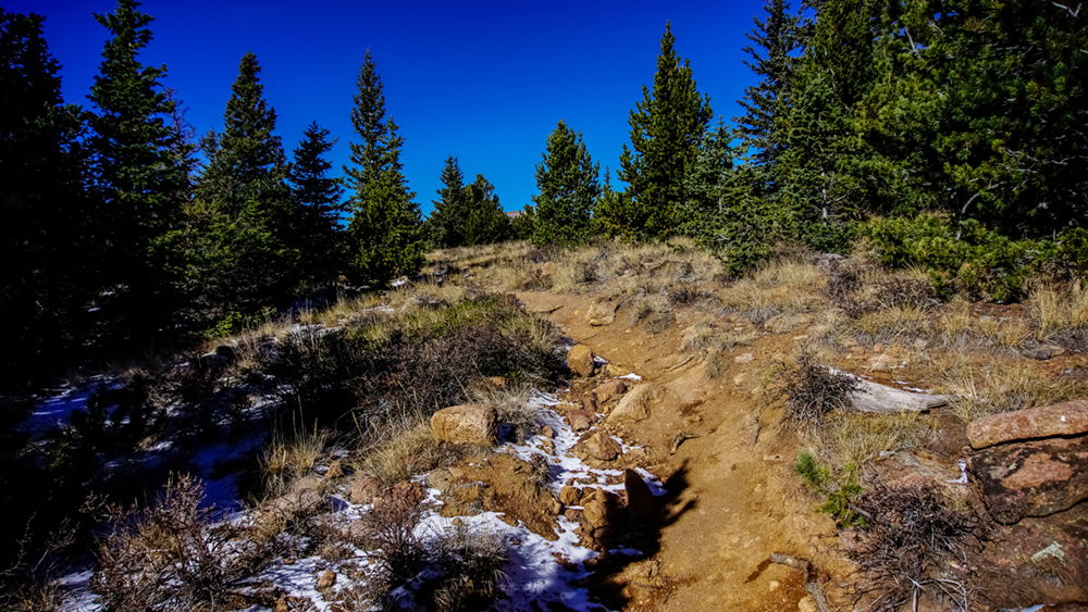
Then the trail begins to level off; you’ll still have a slight incline, but not like the previous section. The elevation here is between 9500 and 9600 feet.
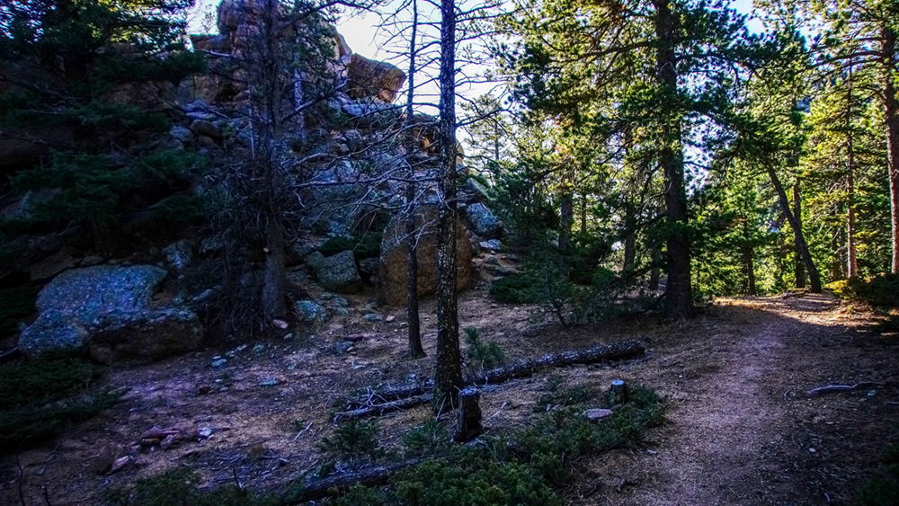
Maybe a hundred yards up the trail is a nice rock formation begging you to climb. Some small fire pits are a testament of its popularity.
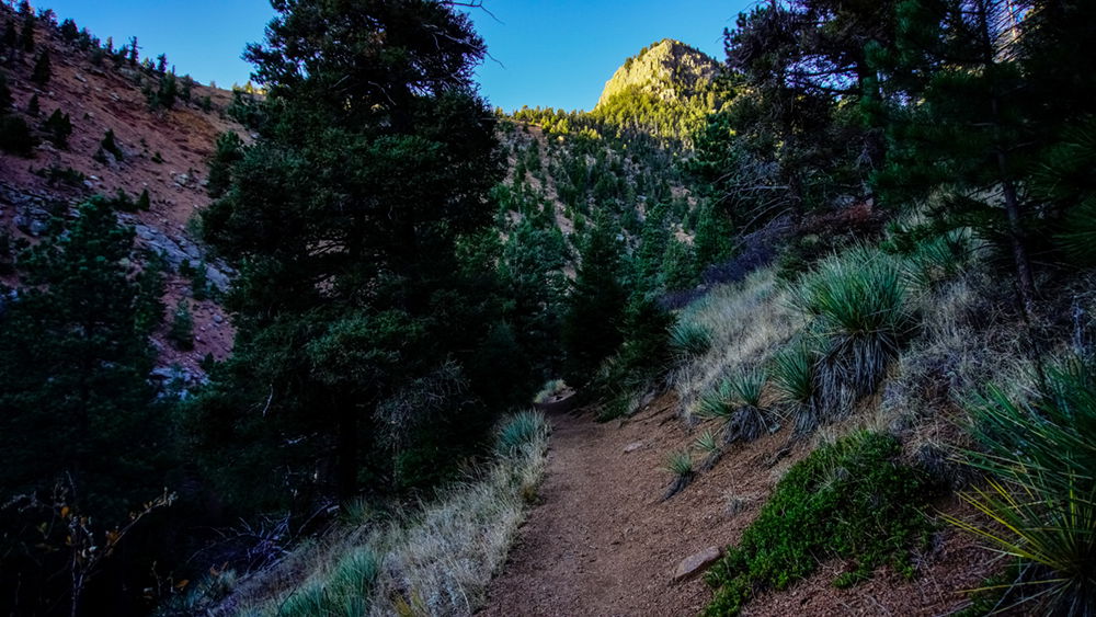
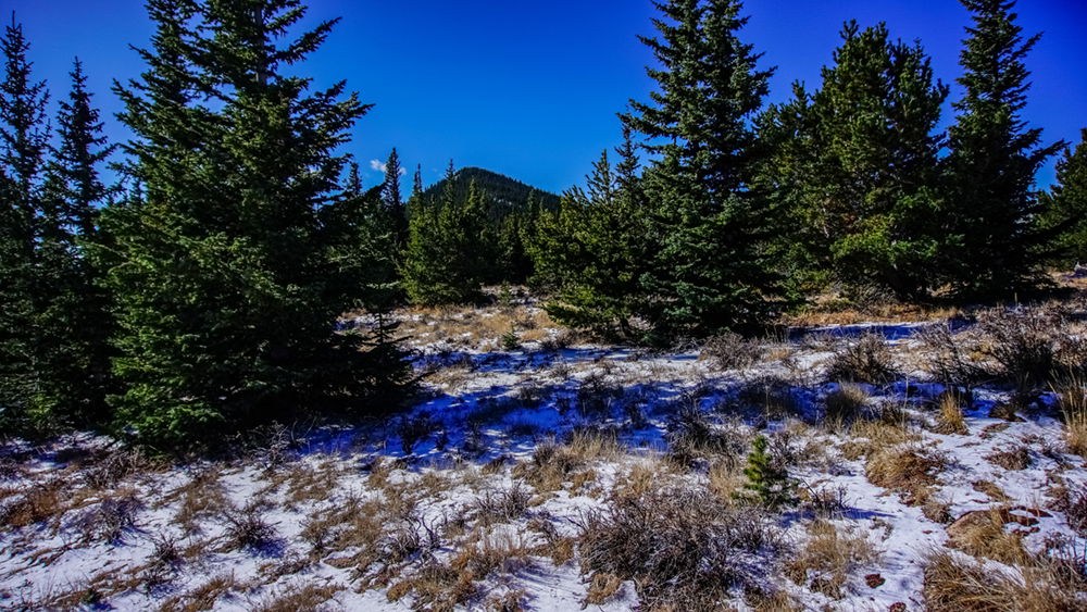
From the place of great climbing temptation, the trail descents slightly and soon a glimpse of Rosa will come into view while entering a clearing, the rush of the creek below.
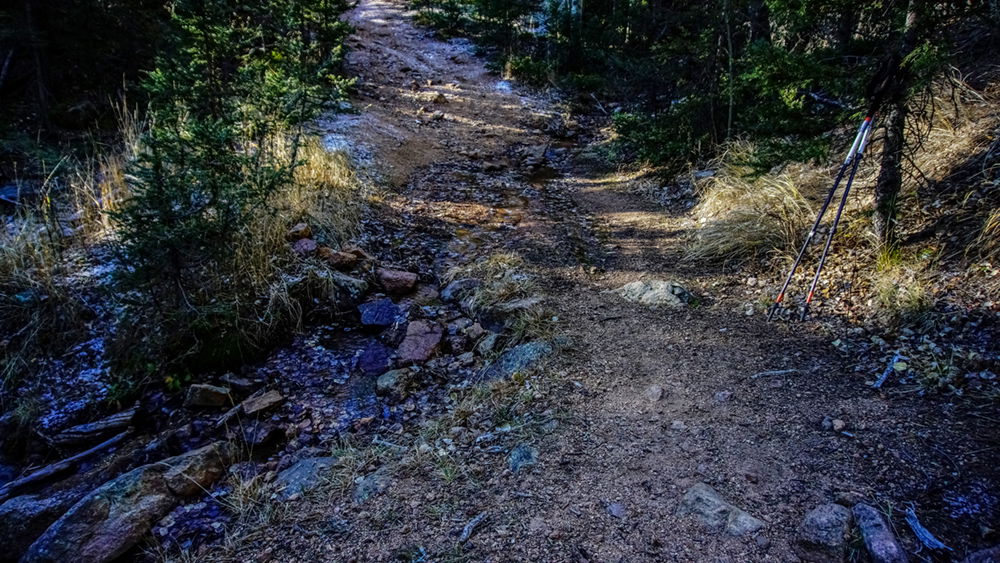
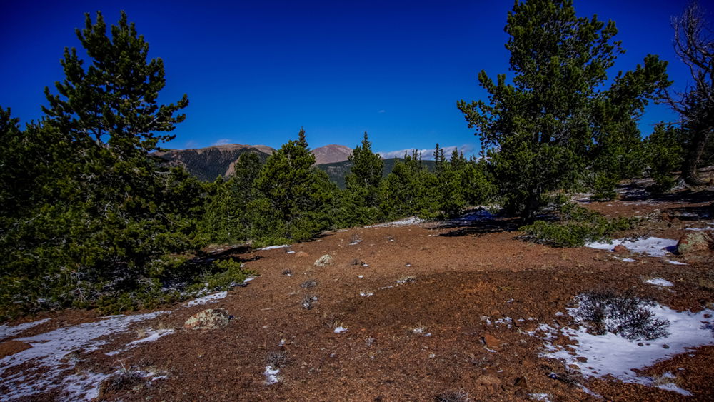
After the clearing the trail widens; I believe this was an old forest service road. The trail will dip down slightly to a stream. This will be the last water source of the trail; so, filter some if you need to.
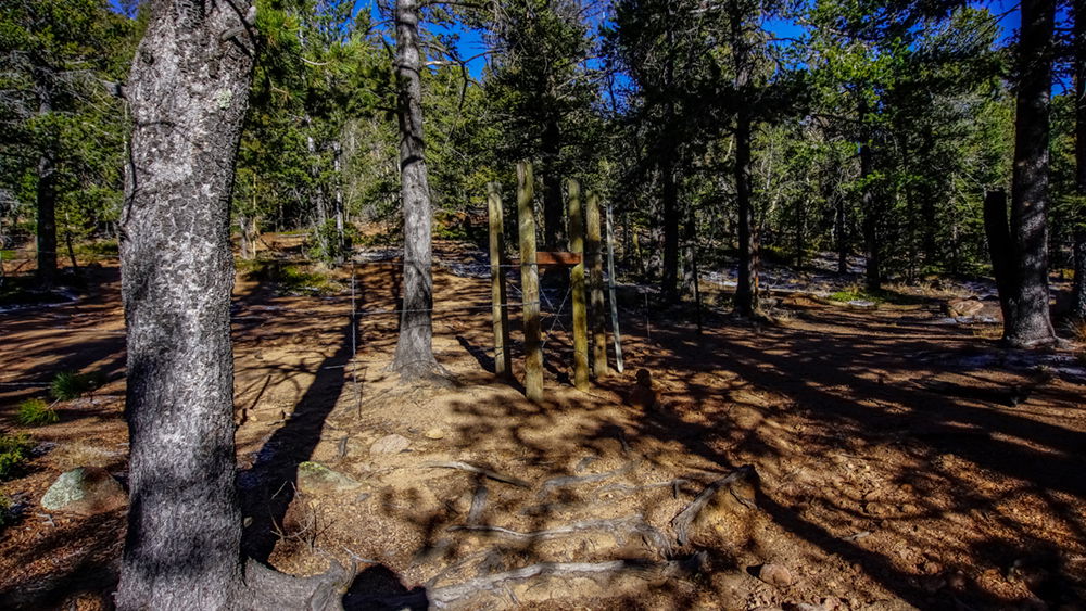
From the stream the trail will begin to rise again onto rockier terrain until reaching a gate. Walk through the opening on the gate.
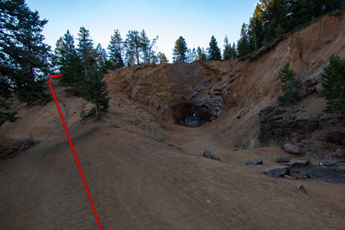
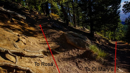
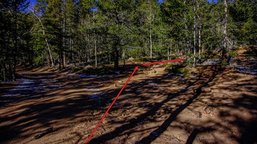
The path after the gate can be a little confusing. I’ll make it simple: repeat after me, “go right on the road”. Here’s a picture to illustrate.
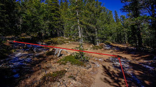
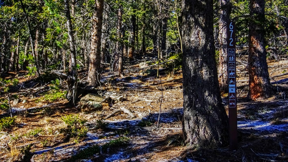
Then in about 100 feet, turn left. Note the trail marker near the base of a large pine about 20 feet off the road – trail 672.
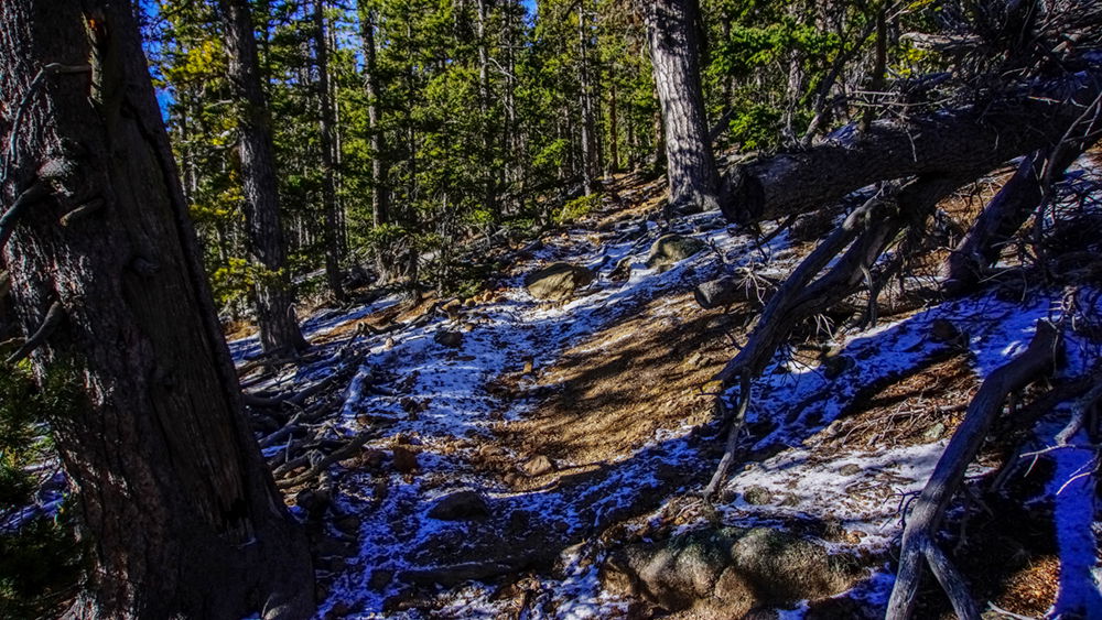
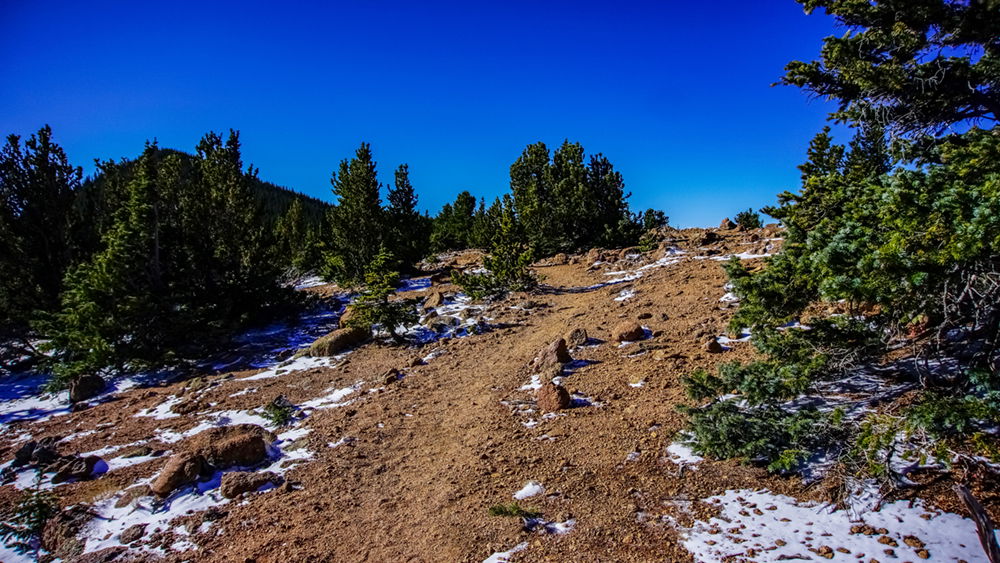
The trail alternates between open rocky areas and heavily wooded areas with some switchbacks until reaching a flat open area. This is the north east ridge of the mountain. This section is 1000 ft of elevation gain. It will feel like you have arrived; but, no, my friend; it’s just a cruel joke.
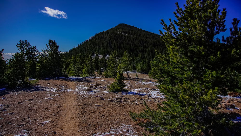
The rest of the way isn’t very far – less than a mile and around 600 feet of elevation before reaching the summit. Rosa is within reach!
Glance over to the right to see the south ridge of Pikes Peak.
Notice the ground is granite gravel with very little vegetation due to the intensity of the wind. On this day the wind was quite mild, but I’ve been up here when it has been forceful. The air is noticeably cooler, now at nearly 11,000 ft.
The trail winds through the trees until reaching the trail marker for 673, an arrow pointing the way.
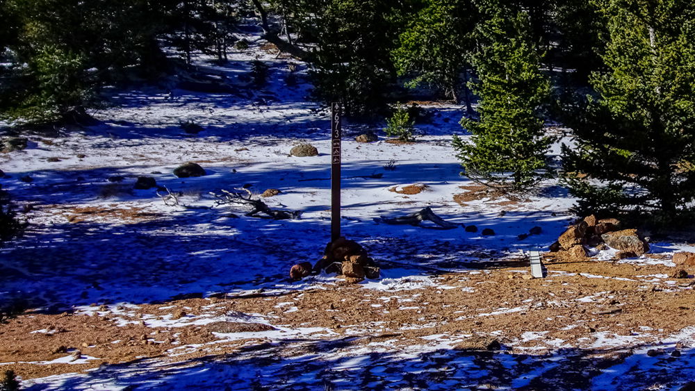
The trail from here can be a little difficult to find from time to time as it makes its way through the pines up to the next area of open granite gravel very similar to the previous.
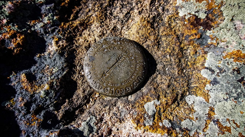
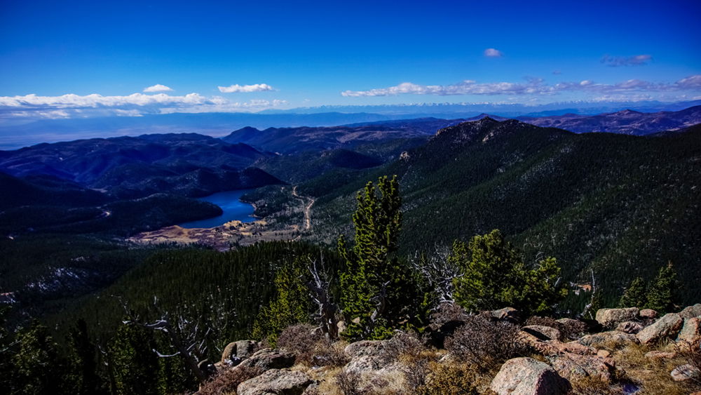
The remaining hike is through a forest of pine and increasingly more abundant boulders. The trail switches until finally reaching the summit. And what a glorious summit it is, with great views of the foothills, Almagre and Almagre South, Cheyenne Mountain, Pikes Peak, Rosemont Reservoir below, and the Sangre de Cristo Mountain range in the distance.
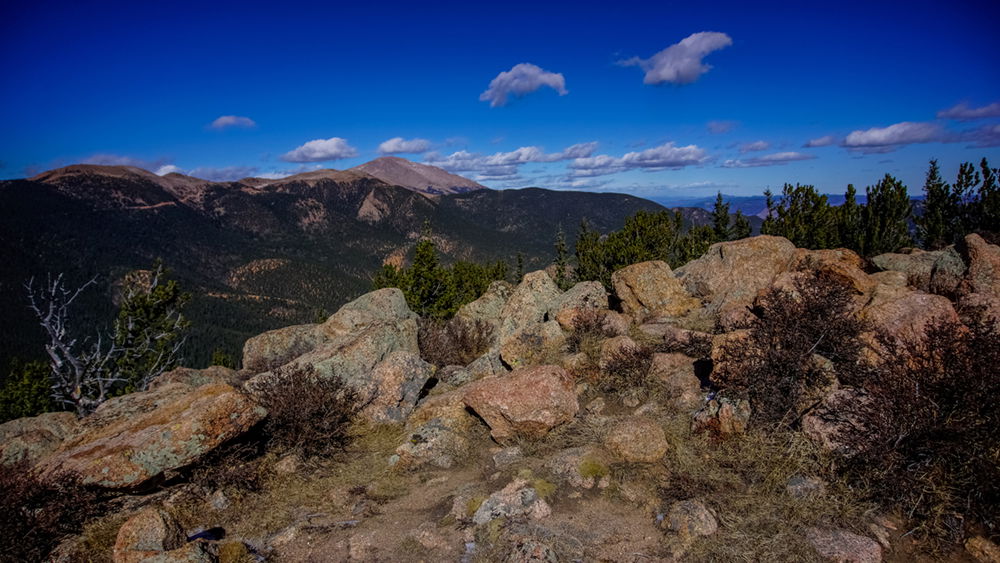
To see all this for the first time through the eyes of a soldier from the flatlands of the Midwest in the early 1800s must have been otherworldly. At times I feel the spirit of the early explorers, the amazement and awe, the trepidation and anxiety of the unknown, and the sense of fullness and utter oneness with my surroundings like a purpose fulfilled. Yet it’s never enough. I want to return home to tell a story and then immediately prepare for another journey, like ol’ Zeb.
Yes, ol’ Zeb was one of the great ones. I didn’t climb his side of the mountain. I didn’t stay in his cave. But I did reach the summit and I did take in the greater wonder of our world as I’m sure he did on many occasion in this beautiful place.
Happy trails, my friends!
And here is another route to this summit on video: