Trail Guide for South Dakota’s Centennial Trail
I recently thru hiked the Centennial Trail in South Dakota. As far as thru hikes go, this is a short one. It’s 124 miles. The trail is in the Black Hills on the western side of South Dakota.
The elevation gain on this trail is around 20K feet. This is not insignificant and is about as challenging as many other trails in the west.
It took me a week to hike this trail. Doing the math, that’s about 18 miles per day on average. Some do it in less time but most people take more time. Do it at whatever pace makes sense to you. It’s beautiful trail with plenty of places to see in the area. So, if you can spend more time here, you should. I have videos of some of the other trails in the area.
There is no official trail organization website for this trail. But, there are a few guide books anyone can pick up on Amazon or at a South Dakota local outfitters store. I haven’t read any of these books, so I can’t really recommend any one of them. But, I’ve heard generally good things. So, if you are a guide book person, these resources are a great start to the trail.
This thru hike was during the last week of May. Let’s go over the hike, day by day.
Day 0
It’s about an 8 hour drive from my home in Colorado to Sturgis, near the northern terminus. Along the way I dropped off my resupply package at Whispering Pines and a water cache at Elk Creek Trailhead.
Before dinner that night, I called to confirm my pickup in the morning. I arranged a shuttle ride from the northern terminus at Bear Butte State Park Education Center through Roamin’ Around, an outfitter with a storefront in Rapid City. Several months before I started I emailed them with my itinerary. They quoted me a price; we agreed on a pickup day and time; then they sent me some helpful details about the trail.
I stayed at the Sturgis Motel, it’s a 15 minute drive to Bear Butte from there. It’s inexpensive, clean, the staff is great, it’s just a few blocks from anything you’ll need while you’re in town. Don’t expect 5-star services, it’s not that kind of place. But it had everything I needed to crash for the night.
Day 1 - 15 miles
I parked my Jeep at the northern terminus, Bear Butte State Park Education Center, by 6am. Be prepared to fill out the entry form and including the $15 parking fee at the entry to the park.
Roamin’ Around was on time. It was a two hour drive to the southern terminus: Norbeck Dam Trailhead.
I was on trail by 9am, heading north for the first six miles through Wind Cave National Park, where we cross over into Black Hills National Forest.
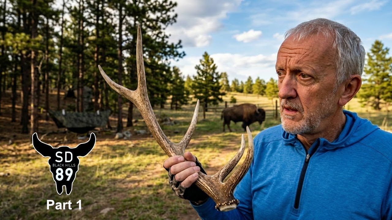
Hikers are very likely to come across free roaming wild Bison throughout this first day on trail. There have been too many tragic endings for people who get too close to these majestic creatures for me to become part of that statistic. I saw one small herd the first day; maybe 20 head, among them were several calves. I gave them a large girth to do anything they wanted to do. But they are definitely an amazing sight to see.
More than half of this day was in more open areas with gently rolling hills.
In my opinion grasslands and open prairie, with wide expansive views, oceans of grass waving in the wind, and very diverse wildlife is way too underrated for hiking experiences. I encourage every hiker to spend some time in such places. It’s incredibly peaceful.
There were several creeks on this first day; plenty of water. I carried only a liter at any one time all day.
Camp was 15 miles into the hike at French Creek Horse Camp. The camp host was very gracious and showed me where I could camp for free down by the creek. They have heated bathrooms with showers, outlets to charge our electronics, and potable water spigots. Campers in the park were also very friendly.
Day 2 - 16.6 miles (mile 15 to 31.6)
Day 2 began with a wild bison walking around my hammock. It didn’t seemed to be bothered by me; just eating grass and grunting. After a quick camp breakdown I headed north, immediately crossing French Creek and taking on a few uphill climbs.
In a couple hours I was at Legion Lake. This is an alternate route for those who want to ensure they have a good water source and who may want to stop in the lodge for breakfast. I hadn’t planned on stopping for breakfast, but I did get a cup of coffee and enjoyed the view of the lake for a few minutes before heading on.
Today was a day that transitioned from lower prairie to the iconic granite crags for which this place is known. We finshed the Custer State Park segment of the trail and entered into the Black Elk Wilderness Area.
The end of the day brought me to a camp with a lookout where I could see Mount Rushmore off in the distance.
Day 3 - 19.6 (mile 31.6 to 51.2
The intention was to have breakfast at Mount Rushmore, but I was up early and at the monument almost 2 hours before they opened. So, I took some pictures, had my breakfast bar, and got back on trail. Mount Rushmore is .6 miles off trail with 250 ft elevation gain.
A few miles past the Mount Rushmore cutoff is another alternate that takes you past Horse Thief Lake. This is another place to ensure a good water source. Since this was a dry year, it made better sense for me to cut down on my water carry and not risk the chance of dry smaller creeks. I carried two liters out of there.
This was also the day when we cross over the highest point on the trail near Samelius Peak. The scenic views between mile 44-45 were some of the best on this trail.
By the time I got to Sheridan Lake, the dark clouds were starting to roll in. I topped off my water for a dry camp a couple miles past the lake near mile 51. I did have several brief showers toward the end of the day.
Day 4 - 16.2 (mile 51.2 to 67.4)
The reason I pressed on past Sheridan Lake was to make day 4 a little shorter. This was my resupply day and the day I stayed the night at Whispering Pines Campground.
The rain continued off and on all night and had stopped by the time I packed up camp in the morning. But, the rain water was falling from the trees and the grass along the trail was filled with rain water too. So, I headed out of camp with my poncho and rain pants to keep me dry. It was breezy and cool out.
There were some mucky roads along the way to and from the twin water tanks a few miles up the trail; my only reliable water source for the morning.
And not far up the trail from the water tanks were some open hills full of wavy prairie grass in the wind, beautiful but very cool in the wind. If I were filming an old west movie, I could see a wagon train going through this area, a bit iconic.
By the time I arrived at Pactola Reservoir, the temps warmed up enough and the sun broke through to dry things up. From the Reservoir it was a little over 5 miles to Whispering Pines.
One noteworthy thing about this trail is that it was designed so that nearly every major road crossing was through a cattle tunnel under the highway. I’ve been on so many trails that have dangerous road crossings, not this trail.
I was using the Avenza Maps phone app with files I bought from Roamin’ Around. It was a great navigation tool. One exception to that was finding Whispering Pines Campground. I ended up taking the trail to Deer Creek trailhead, but I turned the wrong way at the county road which put me on a loop. Tip: There are no signs on the trail for Whispering Pines. So after turning off to Deer Creek Trailhead at mile 67.4, go left (not right) and walk the highway for about a half mile to get to the campground.
The staff at Whispering Pines was very accommodating. I rented a very reasonably priced cabin for the night, washed my laundry, took a shower, and had a frozen pizza and a beer for dinner. The lodge has some snacky-type of food and a few prepackaged freeze dried backpacking meals, but it’s not a good place for a full resupply.
Day 5 - 21.6 miles (mile 67.4 to 89)
There was a bit of frost on the ground the next morning, just cool enough to have a jacket on for the first few miles.
And today was the day when I would encounter around 60 ATV vehicles on the trail, this began just a few miles into my hike for the day. It was Memorial Day weekend; probably the worst timing to be on the only section of the trail that is also a very popular for ATV enthusiasts. These shared trails are rocky and muddy in places and there’s no meaningful relief from all that until the turnoff to Dalton Lake, around mile 85.
The goal for the morning was to make it to Nemo for lunch at the Nemo Mercantile. It’s about a half mile off trail from mile 79.4; just turn right at the paved road.
After a nice lunch in Nemo I had another 10 miles to camp.
I chose to camp at mile 89 because it’s on a bluff with a fantastic vista view. It’s another dry camp with plenty of places for tents and hammocks, so I carried out 3 liters of water from Little Elk Creek at Dalton Lake. Dalton Lake is very small compared to Sheridan and Pactola Reservoir. Camp was just 3 miles past that.
Day 6 - 18.2 miles (mile 89 to 107.2)
This is the part of the trip where I gave some thought to how I wanted to finish. That is, how many miles do I want to plan for the last day, given that the last mile of the trail is a 1000-foot elevation gain up Bear Butte. So, the idea was for me to get as close to Interstate 90 as I could, considering the noise of the highway and the opportunities I would have to hang my hammock.
It was a beautiful start to the morning with the views over the bluff and nice temps; no need for a jacket. After a few miles the trail runs above Elk Creek and then a couple miles later descends down to the creek. Due to the drought conditions the past couple years in this area, the creek was completely dry, not even a small pool to be found.
At mile 98.3 is Elk Creek Trailhead, where I had dropped a gallon of water cache. From Dalton Lake (mile 85.7) to a water tank at Alkali Creek (mile 109.5), nearly 24 miles, there are no water sources. Elk Creek Trailhead, near the mid point of that stretch is the only convenient place to drop a cache.
One thing worth noting is that we need to take out our trash while on the trail, including empty water containers. So, I cut my plastic gallon jug into smaller pieces and put it in my pack, which I ended up carrying until the end.
At mile 102.3 is our first view of Bear Butte on the trail. There’s something about seeing the finish line that puts a little more energy in our step, which is needed because there’s a little bit of a climb over the next few miles before the descent to Alkali Creek begins.
I ended up making camp at 107.2. Another dry camp. It turned out I could have went further, even past I90, because there were still good hammock hanging options beyond where I stopped. But I didn’t know that, and I didn’t want to risk not having a place to hang for the night. At some point I knew the trail would turn into a prairie walk without a tree in sight.
After a quick dinner, I was in the hammock early because I had a early wake up for the final day on trail.
Day 7 - 16.8 miles (mile 107.2 to 124)
I was up at 4am and on the trail by 4:20. I had not set up my tarp for the night because there was no chance of rain; this made for a quick breakdown in the morning. The reason I left early was because the temps were to be near 80 degrees in the open prairie and on the exposed mountain.
In just a few miles I crossed under I90 and passed by the veterans cemetery near Fort Meade. It was quite fitting as it was Memorial Day. So, I paused for a few minutes at the cemetery to honor our fallen heroes.
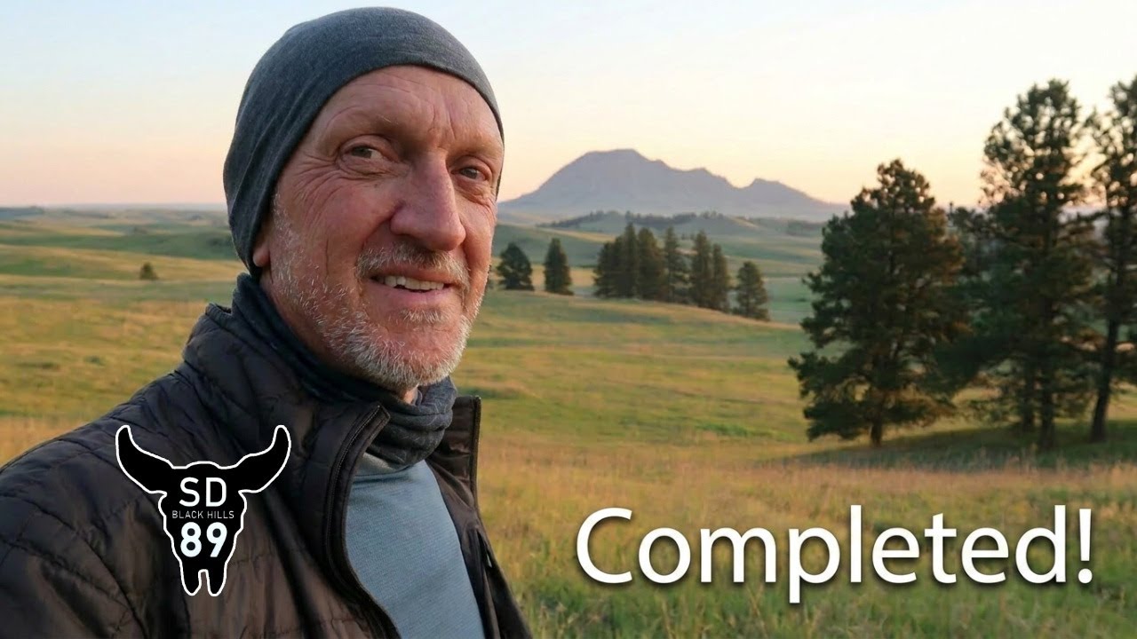
Just a couple miles past that, across the highway, I topped off my water at a creek, then I was into the open prairie. Those 6 miles seemed exceptionally long, probably due to the raising temps and warm wind. I topped off my water again at a small rest area right next to the path at Bear Butte Lake. From there it’s a mile to the foot of the mountain, a half mile to the Education Center where I had parked my Jeep a week earlier, and just a little over a mile to the summit of the Butte.
A side note about the historical significance of this whole trail: For generations before the U.S. expansion in the 1800’s, the whole Black Hills area was a sacred place for several Native American tribes. And Bear Butte is an especially significant place that is still used today for prayer and worship. It was and still is a place of pilgrimage, vision quests, sweat lodges, and other ceremonies. You’ll see prayer cloths and tobacco ties on the trees almost the entire way up the mountain. So, when you’re on this trail and especially when you are up on that mountain, just show a little respect and be aware of the history of the place. The Bear Butte Education Center is a great source of information that anyone should appreciate.
I walked up to the summit platform in silence, just as a point of respect for what this place means to the native tribes. It was actually a good time for me to reflect on the entire trail, my experiences, and to feel, as I normally do, a great sense of gratitude about my life and this opportunity I was given.
Summary
The Centennial Trail is an awesome short thru-hike! It’s great for those who want to try a long trail but don’t want to or can’t take on something like the Pacific Crest Trail. It’s challenging, diverse, remote enough to get some solitude, but close enough to get off trail quickly in case of emergencies. It’s centrally located in the U.S. The community around the trail is excellent. It’s just a great option for a lot of reasons.
Be sure to check out the 2-part video series I posted on this trail. And go to the website to get my full gear list.
Happy trails!